
Kosi-Mechi River linking project
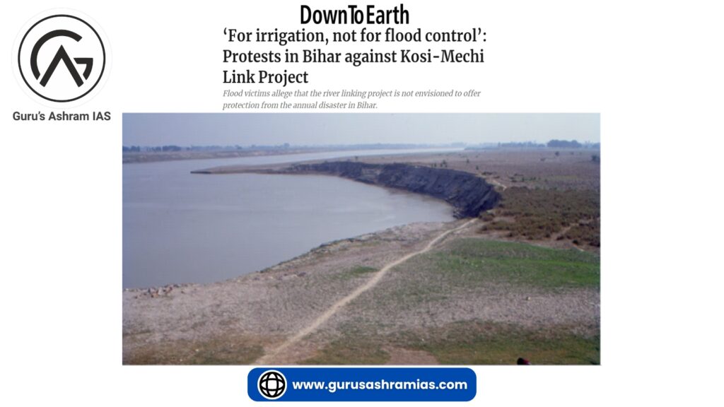
- The Kosi-Mechi River linking project, which is part of India’s ambitious National Perspective Plan (NPP) to link rivers, has become a subject of controversy. Flood victims in Bihar have opposed its implementation.
- Although the project aims to improve the region’s irrigation system, locals argue that the project fails to address the critical issue of flood control, which affects them every year.
Kosi-Mechi River link project:
- The project involves linking of Kosi River with Mechi river, a tributary of Mahananda river, which will have an impact on the areas of Bihar and Nepal.
- The project aims to provide annual irrigation to 4.74 lakh hectares (2.99 lakh hectares in Bihar) of land and 24 million cubic meters (MCM) of domestic and industrial water supply.
- The Kosi Barrage is expected to release an additional 5,247 cubic feet per second (cusecs) of water on completion of the project.
- The project is being managed by the National Water Development Agency (NWDA) under the Union Ministry of Jal Shakti (Water Resources).
Concerns:
- The project is primarily designed for irrigation purposes with a target to irrigate 2,15,000 hectares of agricultural land in Mahananda river basin during Kharif season.
- Despite government claims, the project does not include any critical component of flood control, which is a major concern for the flood-prone region.
- In this project, only 5,247 cubic feet per second (cusec) of additional water will be released from the barrage, which is negligible compared to the 9,00,000-cusec capacity of the barrage.
- Locals believe that a slight decrease in water flow will not be enough to prevent the annual floods that damage the area.
- Floods and land erosion have destroyed houses and inundated crops, affecting the livelihood of local villagers living along the embankments.
- The focus on irrigation under the project does not address these immediate and recurring challenges.
Kosi and Mechi rivers:
Kosi River:
- It is called the ‘Sorrow of Bihar’. It originates from the catchment area of Mount Everest and Kanchenjunga in the Himalayas at 7,000 metres above sea level.
- Flowing through China, Nepal and India, the river enters India near Hanuman Nagar and merges with the Ganga near Kursela in Katihar district of Bihar.
- The Kosi River is formed by the confluence of three main streams Sun Kosi, Arun Kosi and Tamur Kosi.
- The Kosi River is famous for its tendency to change its course and flow towards the west, which has gone up to 112 km in the last 200 years destroying the agricultural sector in Darbhanga, Saharsa and Purnea districts.
The tributaries:
- The river has several important tributaries, including Trijanga, Bhutahi Balan, Kamala Balan and Bagmati, which all flow through the plains to join the Kosi River.
Mechi River:
- It is an inter-boundary river flowing through Nepal and India. It is a tributary of the Mahananda River.
- The Mechi River is a perennial river, which originates from the intertidal valley of the Himalayas in the Mahabharata Range in Nepal and then flows through Bihar to join the Mahananda in Kishanganj district.
Mahananda River:
- The Mahananda River is a part of the Eastern Himalayan River system. The river consists of two streams, one originating in the Himalayas in Nepal and flowing through Bihar to meet the Ganges in the north. Locally, its name is Phulhar.
- The second river originates from Darjeeling in West Bengal and enters Bangladesh, joining the Ganges near Godagarighat in Bangladesh. It is known as Mahananda.
Catchment Area:
- Spread over the sub-Himalayan region of Nepal and West Bengal, it is one of the wettest regions in India.
Floods:
- During the peak monsoon months, rivers often merge, leading to massive floods in Bihar and West Bengal. When the Ganga is at its peak, the problem of flooding increases further, leading to massive waterlogging in affected districts like Purnia and Katihar in Bihar and Darjeeling, West Dinajpur and Malda in West Bengal.
National Perspective Plan (NPP):
- The NPP was formulated in the year 1980 by the Ministry of Irrigation (now Ministry of Jal Shakti) to develop water resources through inter-basin transfer of water.
- The plan is divided into two main components: Himalayan River Development Component and Peninsular River Development Component.
The identified projects:
- 30 projects related to interlinking of rivers have been sanctioned, out of which 16 projects fall under Peninsular component and 14 under Himalayan component.
Major projects under Peninsular Component:
- Mahanadi-Godavari Link, Godavari-Krishna Link, Par-Tapi-Narmada Link and Ken-Betwa Link (first project to start implementation under NPP).
The major projects under the Himalayan component:
- Kosi-Ghaghra Link, Ganga (Farakka) -Damodar-Subarnarekha Link and Kosi-Mechi Link.
Importance:
- The objective of the NPP is to manage flood risk in the Ganga-Brahmaputra-Meghna basin.
- It aims to address water scarcity in western and peninsular states like Rajasthan, Gujarat, Andhra Pradesh, Karnataka and Tamil Nadu.
- The scheme aims to improve irrigation systems in water-scarce areas, boost agricultural productivity, promote food security and potentially double farmers’ income.
- This will facilitate development of infrastructure for movement of cargo through eco-friendly inland waterways.
- The NPP is envisaged with the objective of harnessing surface water to prevent depletion of ground water and to reduce the amount of fresh / fresh water that flows into the sea.
Challenges:
- Comprehensive feasibility studies assessing economic, social and ecological impacts are often incomplete or lacking.
- Inadequate data can lead to uncertainties about the effectiveness of the project and possible unintended consequences.
- Water is a state subject Therefore, agreements on water sharing between States become complicated. This situation gives rise to possible disputes. For example, issues relating to water sharing between Kerala and Tamil Nadu.
- Large-scale water transfer can further aggravate the flood situation. This can damage the local ecosystem. Additionally, changes in water flow can lead to waterlogging and increased salinity in agricultural land, which can negatively affect soil quality and crop yields.
- The huge financial outlay for construction, maintenance and operation of dams, canals and related infrastructure presents a significant economic burden.
- Climate change can alter precipitation patterns, affecting both water availability and distribution, as well as adversely affecting the expected benefits of river interlinking projects.
